These aerial photos of the area have been extracted from larger images online at www.britainfromabove.org.uk. See notes at the bottom of the page for how to access the originals.
As with all the pages on this site they’re in response to comments made on the ‘Lost Layerthorpe‘ page on the York Stories website, and questions raised there.
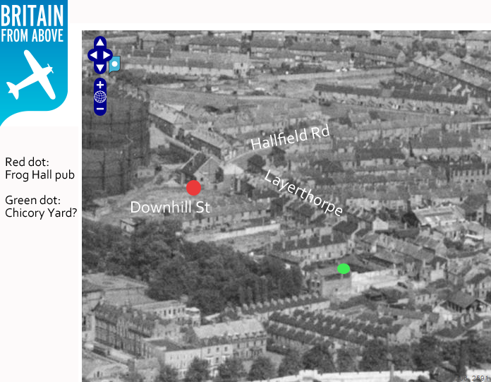
1) The Frog Hall pub is a recognisable landmark, as are the gasometers. A few streets guessed at – are these labels correct?
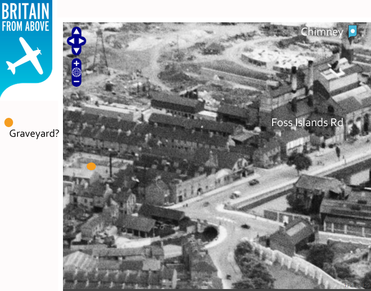
2) One of the comments mentioned the old graveyard of the long-demolished church of St Mary, Layerthorpe. Is this it perhaps?

3) Foss Islands Road and the bottom end of Layerthorpe, with what again could be the old churchyard mentioned
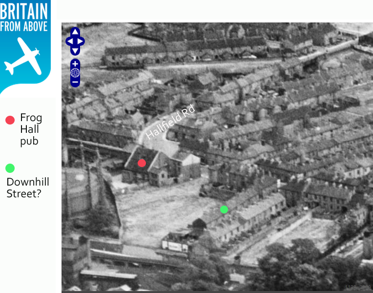
4) Downhill Street?
5) As has been pointed out on the Britain from Above site, this image taken just after the war shows the camouflage on the gasometer.

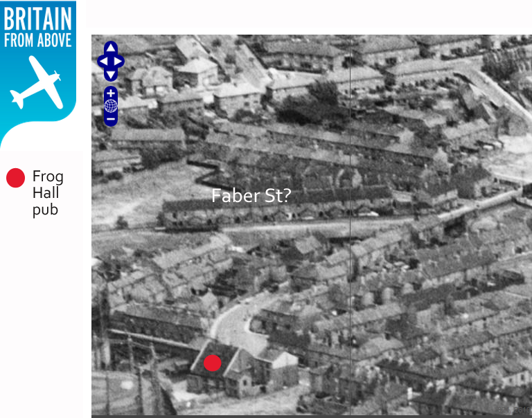
6) I think this image shows Faber Street?
These aerial photographs and other views of York are available to view on www.britainfromabove.org.uk. Registration is required if you want to zoom in to the level of detail shown in the images above. It’s free to register, you just need to provide an email address and password. Then if you login you have the option to zoom in for these more detailed/larger versions of the images.
I’ve assembled all the York aerial views on my profile page on the Britain from Above site, so you might want to visit that as a starting point.
The grave yard is correct so is Faber Steet.
Thank you Trev, we will add this to the map